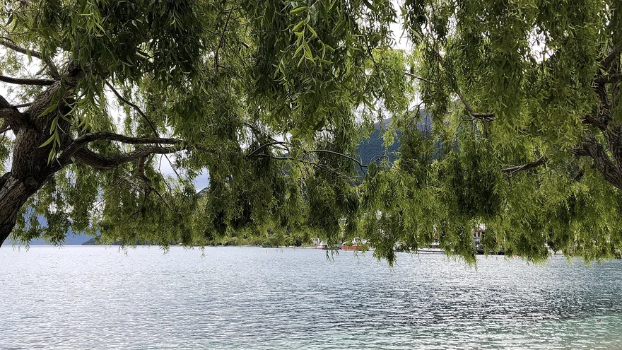
Queenstown Gardens
Lakeside paths, gardens and a disc golf course just a short walk from town.
 Queenstown NOW
Find walks, lake days, indoor activities, family stops and adventure around Queenstown, Wānaka and the surrounding towns.
No matches. Try a different filter.
Lakeside paths, gardens and a disc golf course just a short walk from town.
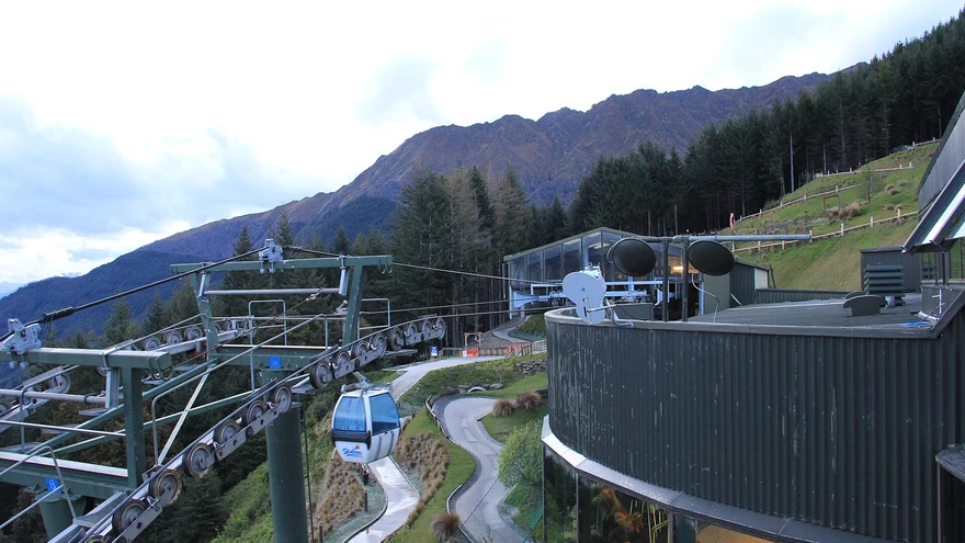
Ride up Bob’s Peak for views across the basin. The luge starts from the top complex.
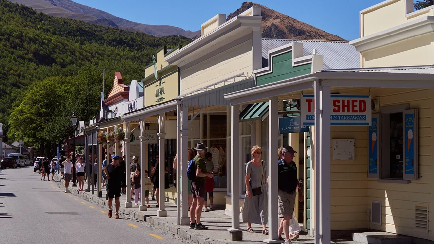
Explore Buckingham Street, historic shopfronts and side streets at your own pace.
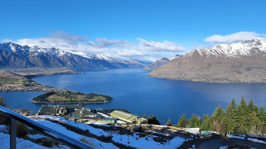
A shared lakeside trail linking Queenstown and Frankton. Start at either end and turn back whenever you like.
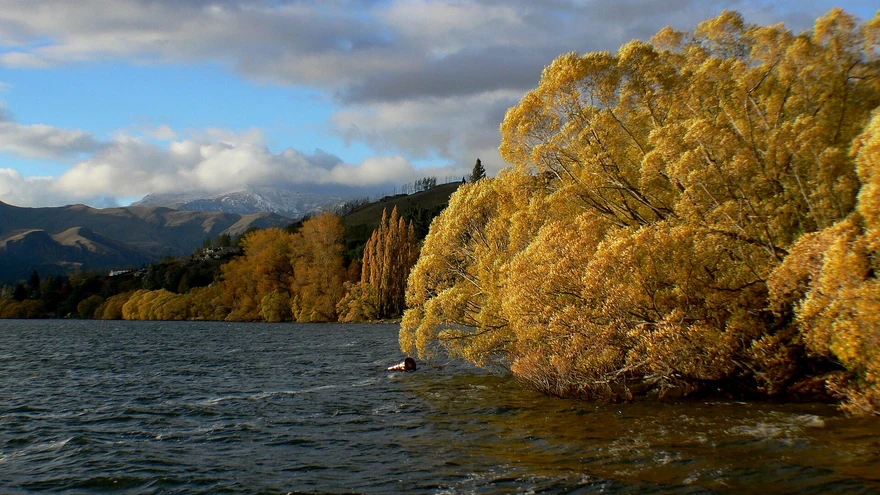
A scenic loop by the water. Check the official trail report for temporary closures and through access.
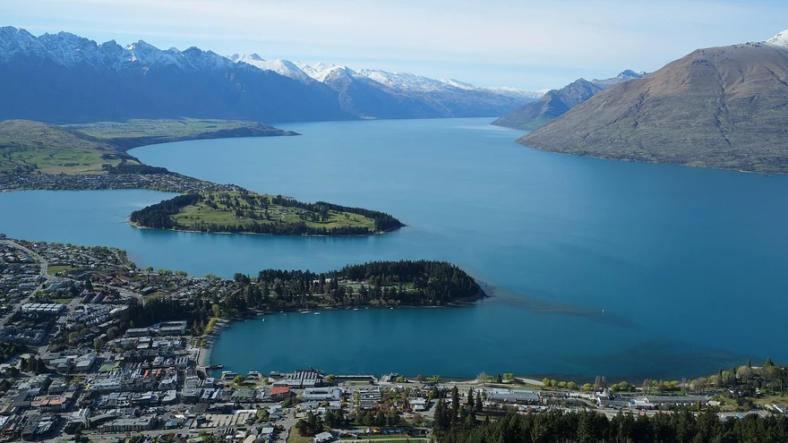 Area photo
A native wildlife sanctuary near the gondola, with kiwi and conservation talks.
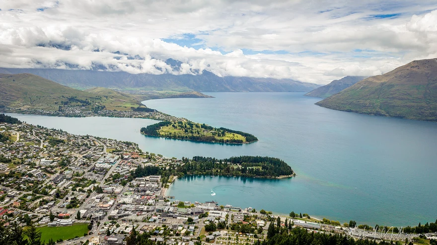 Area photo
A lakeside shared trail with views back towards Queenstown and the surrounding peaks.
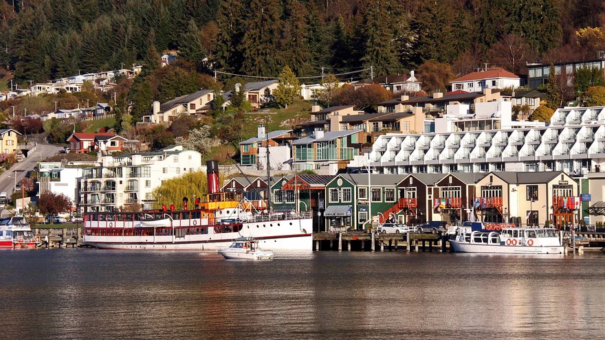
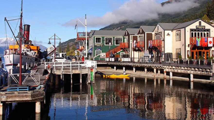
Take a historic steamship from Steamer Wharf across Lake Whakatipu.
Area photoFollow the lakeshore to Sunshine Bay and its beach.
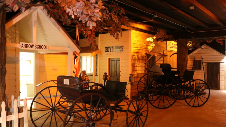
Area photoNative bush, a historic lime kiln and a lakeside lookout west of Queenstown.
 Area photo
Follow the river past historic and swing bridges towards the Gibbston end of the trail.
 Area photo
Visit the remains of cottages and other buildings from the Central Otago gold rush.
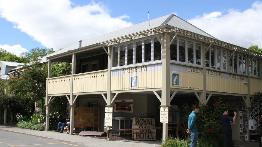
Area photoExplore the local gold-rush history and regional collections on Buckingham Street.
 Area photo
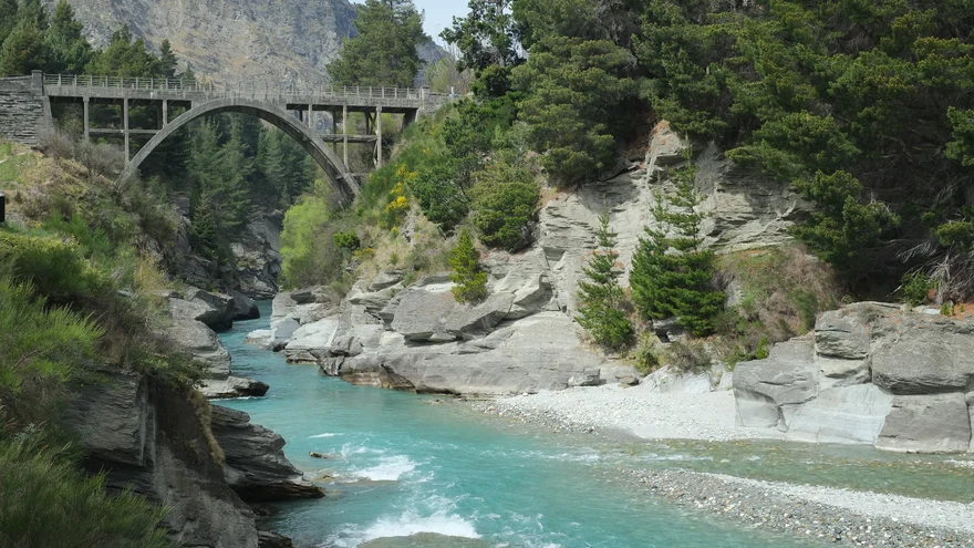
Jet boat rides through the Shotover River canyons from Arthurs Point.
 Area photo
Book a private pool above the Shotover Valley and check current availability before heading out.
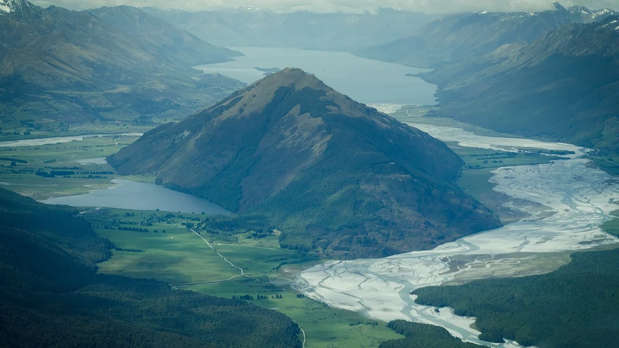 Area photo
A wetland and boardwalk outing at the head of Lake Whakatipu.
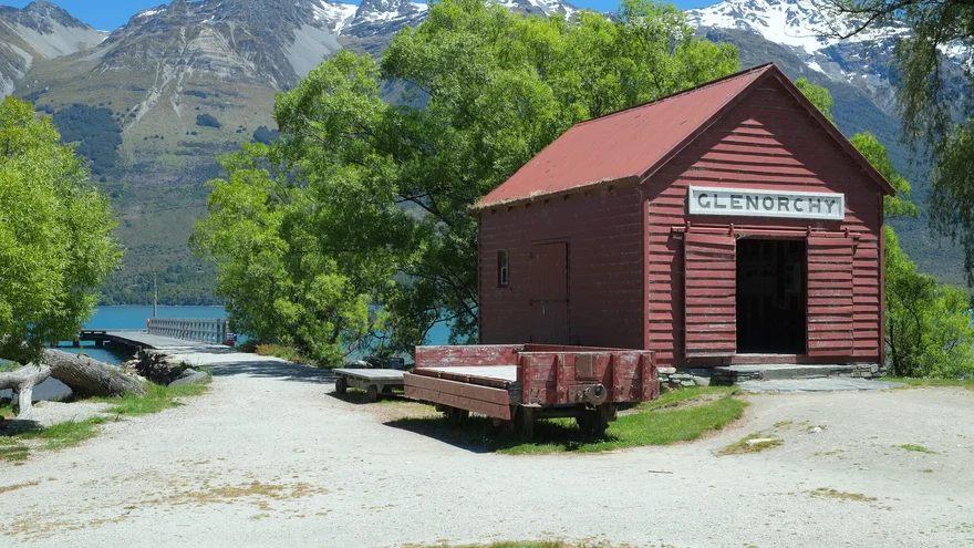
A lakeside stop at the head of Whakatipu, near the township and the start of the lagoon walk.
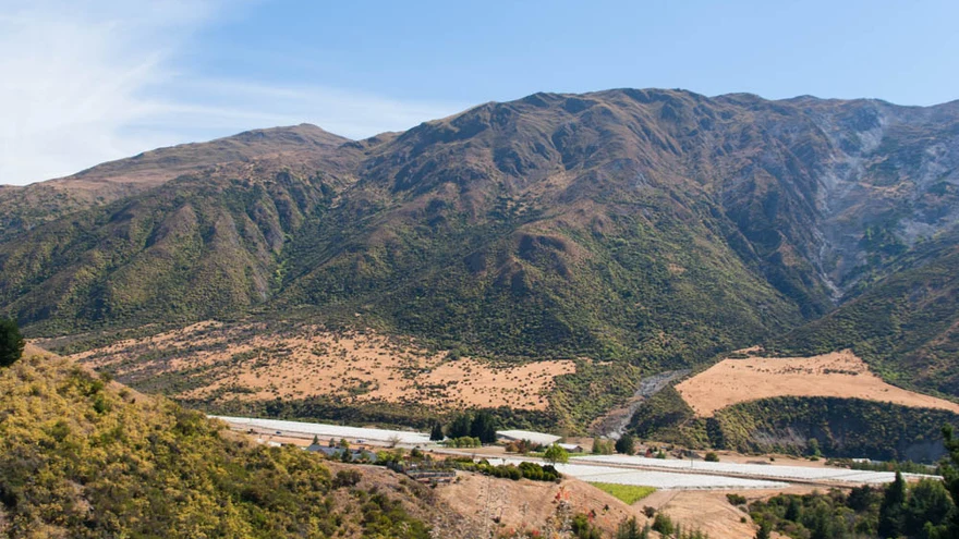 Area photo
Cycle or walk the Kawarau River corridor through the valley. Check trail access before heading out.
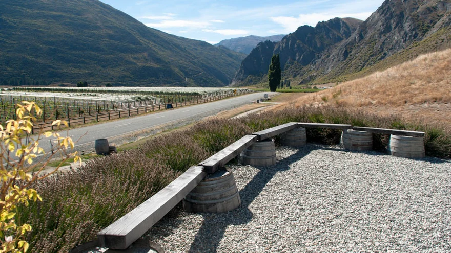 Area photo
The historic bridge is the starting point for bungy jumps over the Kawarau River.
 Area photo
Indoor ice skating in Queenstown Gardens. Check the public-session timetable.
 Area photo
Indoor go-karts, laser tag and arcade games at Remarkables Park.
Area photoThe indoor pool at Queenstown Events Centre. See the council site for public hours and admission.
Area photoGalleries, hands-on art sessions and performances at the Remarkables Park arts centre.
 Area photo
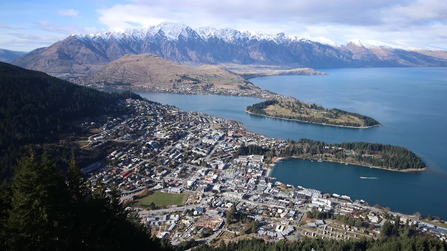
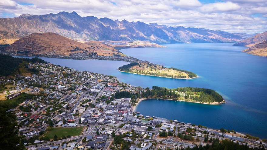
Climb from Belfast Terrace past the Basket of Dreams for views over Queenstown and Lake Whakatipu.
Area photoChoose the saddle or the more demanding summit. Check DOC’s route notes and seasonal alpine conditions.
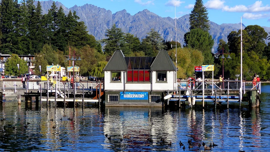
Area photoA central lakeside play stop by Marine Parade and the gardens.
Area photoMountain bike loops just west of Queenstown. Check the trail status and match the route to your skill level.
Area photoA lakefront spot for a stroll or a picnic between town and the gardens.
Area photoA loop around Moke Lake through open country. Check the access road and track conditions before leaving.
Area photoA lawn bowls club in the gardens. Check visitor and club-session availability.
Area photoA free 5 km community event in the gardens. Check the organiser for the next run and register before your first visit.
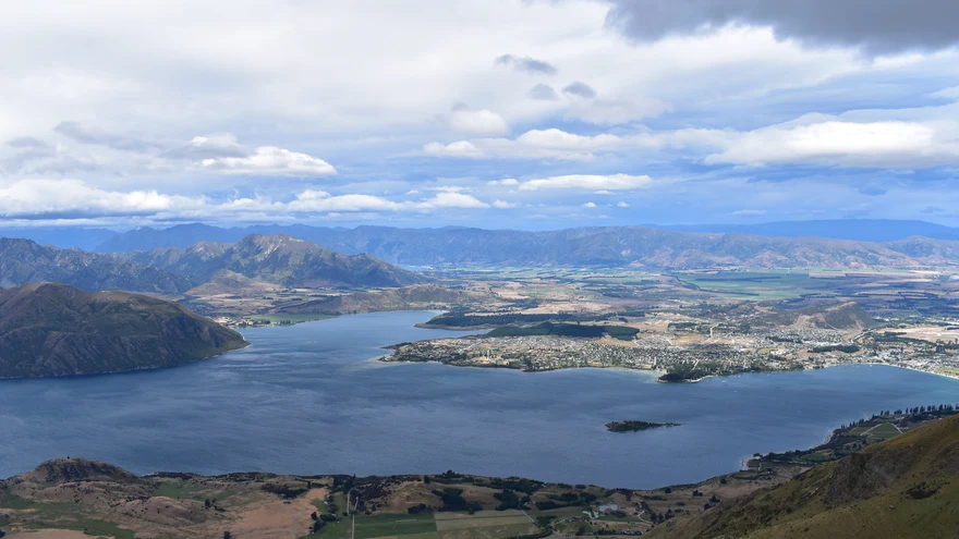
Walk the waterfront past the marina, lawns and beaches. Start from town and go as far as you feel like.
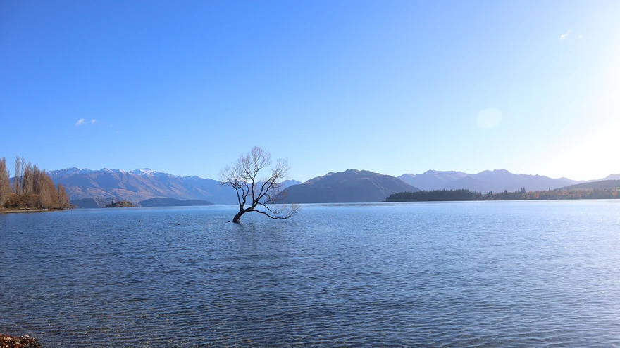
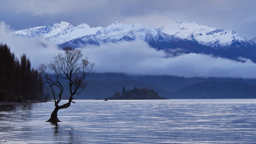
Find the willow growing just offshore on the western stretch of the Wānaka lakefront.
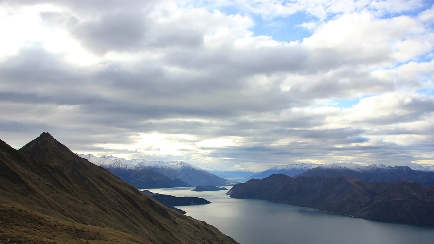
A long, exposed climb overlooking Lake Wānaka. See DOC for seasonal lambing closures and avalanche terrain.
 Area photo
A short summit loop with views over Wānaka and the Upper Clutha. Confirm council fire closures in summer.
 Area photo
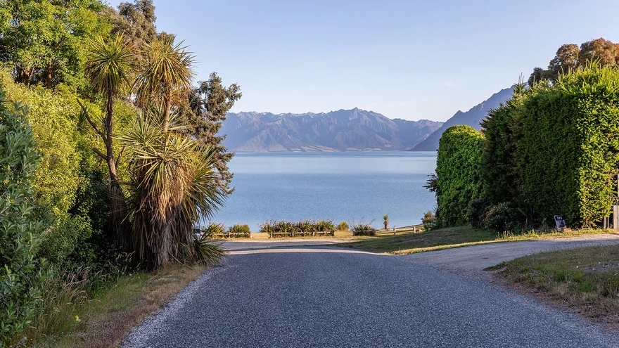
A reserve along the lake with quiet picnic spots and short trails.
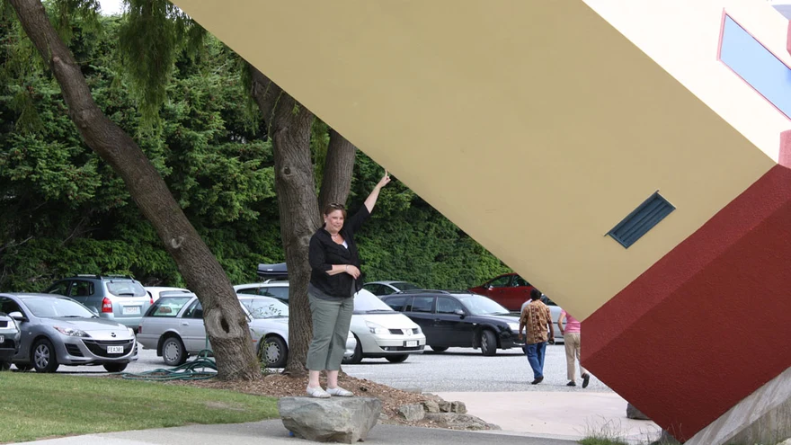
Maze, illusion rooms and family puzzles just outside town. Check ticket options and last entry.
Area photoIndependent cinema with an in-house café. Check session times before going.
Area photoWander the gardens, meet farm animals and stop by the shop. Flowering is seasonal.
Area photoAircraft, classic vehicles and a large toy collection near Wānaka Airport.
Area photoA big green space by the lake near town and the showgrounds.
Area photoIndoor pools and sports facilities. Check the council timetable for public sessions.
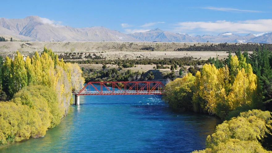 Area photo
Walk or bike beside the Mata-Au / Clutha River towards the lake outlet.
Area photoA riverside starting point for local paths and a picnic near the road bridge.
Lakeside picnic spots and a shoreline walk from town.
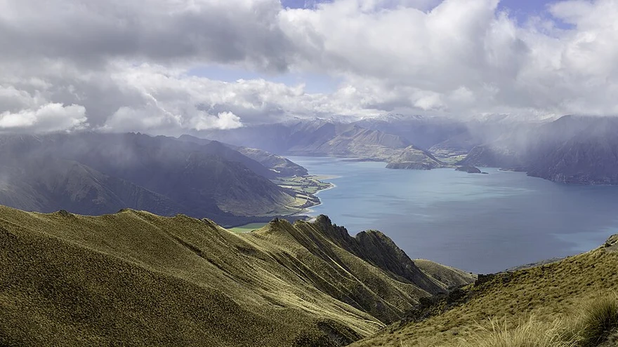 Area photo
Follow the lake edge to Gladstone. Use the official track information for shared-use rules.
Area photoA shared riverside route between the Hāwea and Albert Town areas. Pick an access point before setting off.
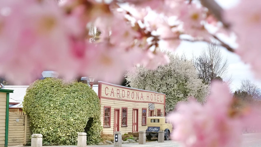 Area photo
Seasonal snowsports and summer activities. Check opening dates and mountain conditions.
Historic bridge across the Mata-Au / Clutha River. Use the designated stopping and viewing areas.
Area photoA day out by the lake west of Wānaka, with shoreline walks and space for a picnic.
Area photoMountain-bike park with routes for a range of abilities. Check passes, trail status and opening dates.
Area photoA short native forest walk to the Blue Pools crossing. Check DOC for the latest track and bridge status.
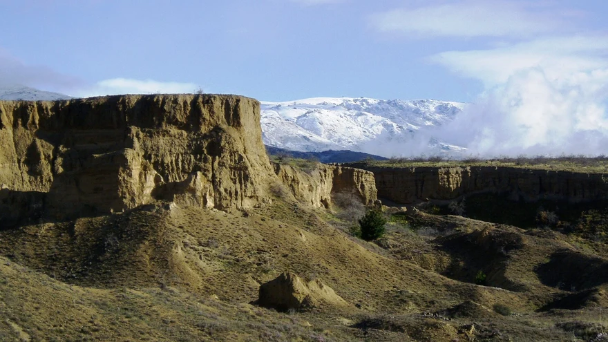 Area photo
A small settlement on the Upper Clutha road, with village shops and a café stop.
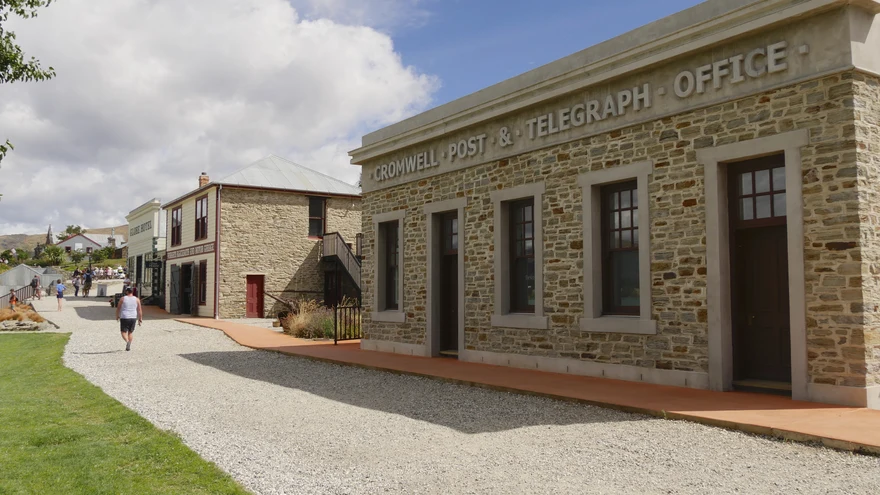
Historic buildings, shops and galleries by Lake Dunstan in Old Cromwell.
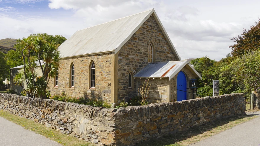 Area photo
A lakeside cycle trail. Check the official route grades, access and conditions before choosing a section.
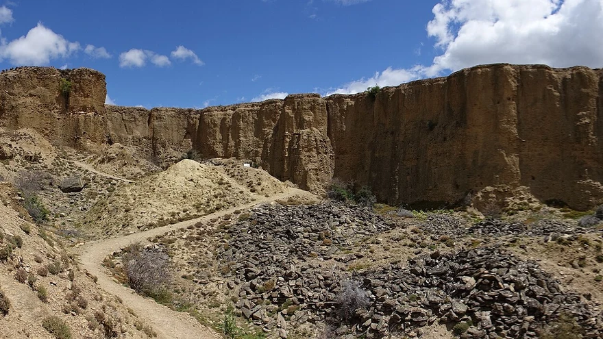
Walk through eroded gold-mining landscapes overlooking the vineyards and river.
 Area photo
Visit the southern end of Lake Whakatipu for a picnic, lake views and a walk around the village.
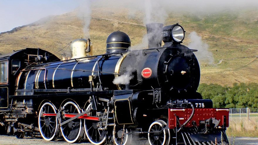
Historic railway at the south end of the lake. Check the operator’s published running dates and booking details.
Area photoA lakeside stop at the head of Whakatipu near Glenorchy. Check local access conditions.
Area photoLake and mountain views on a route around the eastern side of Whakatipu. Check access and trail conditions.
Area photoExplore local shared paths and connections into the Queenstown Trail network.
Area photoA steep forest climb from Brecon Street towards the Skyline complex on Bob’s Peak.
Area photoA bush and gold-mining history loop that passes Sam Summers Hut.
Area photoA climb to a tarn above The Remarkables ski area. Check the ski-field access road and seasonal alpine conditions.
Area photoA steady climb above the Arrow River to a lookout over Arrowtown and the basin.
Area photoA loop through beech forest and open tussock with views over the Wakatipu Basin.
Area photoA ridgeline and stream loop through former gold-mining country. Follow marked access through private land.
Area photoA climb from the Arrowtown tracks towards the Big Hill saddle, with open-country views. See Arrowtown’s guide for connections and access.
Area photoA beech forest walk to Lake Sylvan off Routeburn Road. Check DOC alerts before travelling.
Area photoClimb through historic mining country above the Rees Valley to gold-mining relics.
Area photoExplore mining remains in Whakaari Conservation Area. DOC lists the various walk and hut options.
Area photoStart at Routeburn Shelter and use DOC’s route guide for the out-and-back to Routeburn Flats via forest and river flats.
Area photoA 33 km Great Walk across Mount Aspiring and Fiordland national parks. DOC lists seasonal conditions, transport and hut bookings.
Area photoA forest and lakeside loop near the Greenstone road end. Confirm current access and track conditions with DOC.
Area photoA backcountry circuit through river valleys, beech forest and McKellar Saddle. Check DOC’s route, hut and access information.
Area photoA summit circuit above Diamond Lake. Steep or slippery sections include exposed, rocky terrain.
Area photoA shorter option around Diamond Lake from the conservation area car park. See DOC’s mapped routes for the lookout and summit alternatives.
Area photoFollow the valley towards Rob Roy Glacier viewpoints. Check DOC for track alerts and the Raspberry Creek access road.
Area photoA valley tramp towards Aspiring Hut. Use DOC’s guide to choose a turnaround point and check road and river conditions.
Area photoA long one-way ridge tramp connecting Roys Peak and Mount Alpha with the Cardrona Valley. Check DOC’s alpine and transport guidance.
Area photoAn exposed climb with views of both Lake Hāwea and Lake Wānaka. Check seasonal access restrictions with DOC.
Area photoA steep backcountry ridge climb above Lake Hāwea with hut options. Use DOC’s route and conditions guidance.
Area photoA climb through open country to views over the Upper Clutha basin. Check access and route notes with DOC.
Area photoHike through Fern Burn and beech forest towards the hut. DOC describes this section as a day or overnight outing.
Area photoA backcountry route linking the Wānaka and Arrowtown areas across several exposed saddles. Read DOC’s notes on huts, access and conditions.
Area photoA steep climb towards Little Criffel in the upper Luggate area. Check DOC access details before travel.
Area photoCross open country above the Lindis Valley for views over Central Otago. Check DOC’s road, gate and seasonal access guidance.