
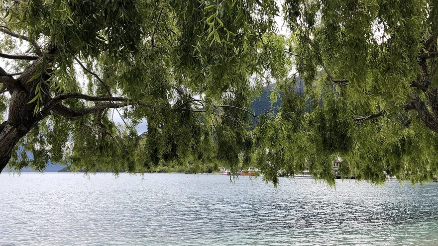
Queenstown Gardens
Lakeside paths, gardens and a disc golf course just a short walk from town.
Find outdoors around Queenstown and Wānaka.
Lakeside paths, gardens and a disc golf course just a short walk from town.
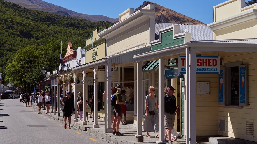
Explore Buckingham Street, historic shopfronts and side streets at your own pace.
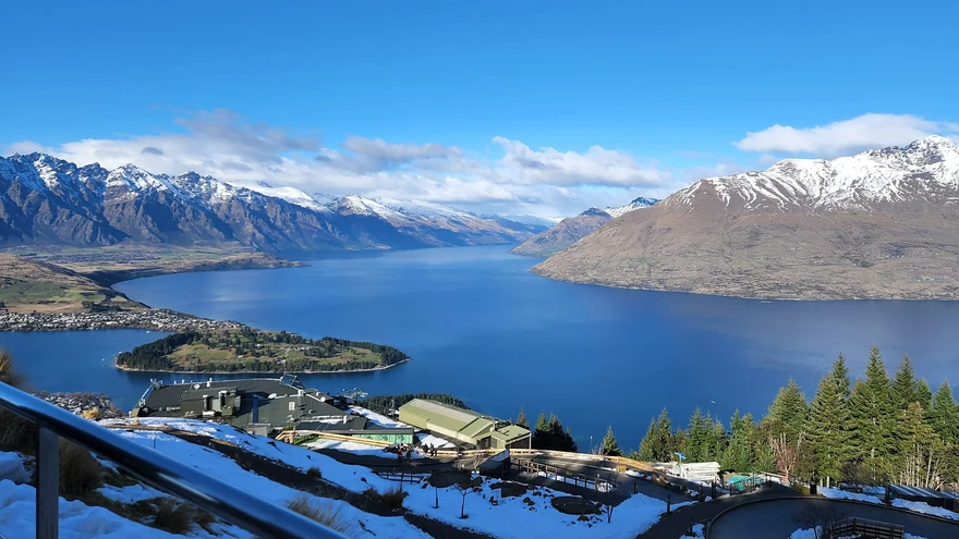
A shared lakeside trail linking Queenstown and Frankton. Start at either end and turn back whenever you like.
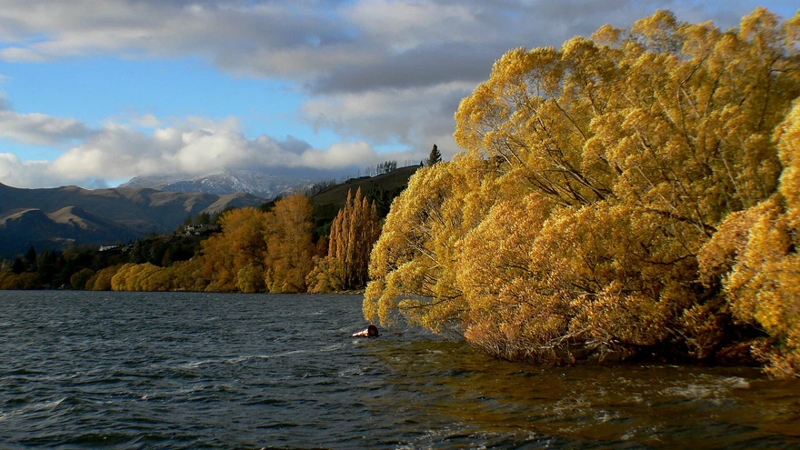
A scenic loop by the water. Check the official trail report for temporary closures and through access.
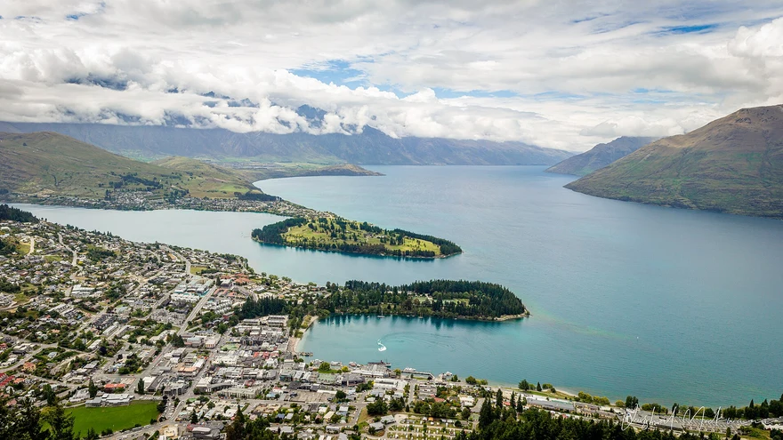 Area photo
A lakeside shared trail with views back towards Queenstown and the surrounding peaks.
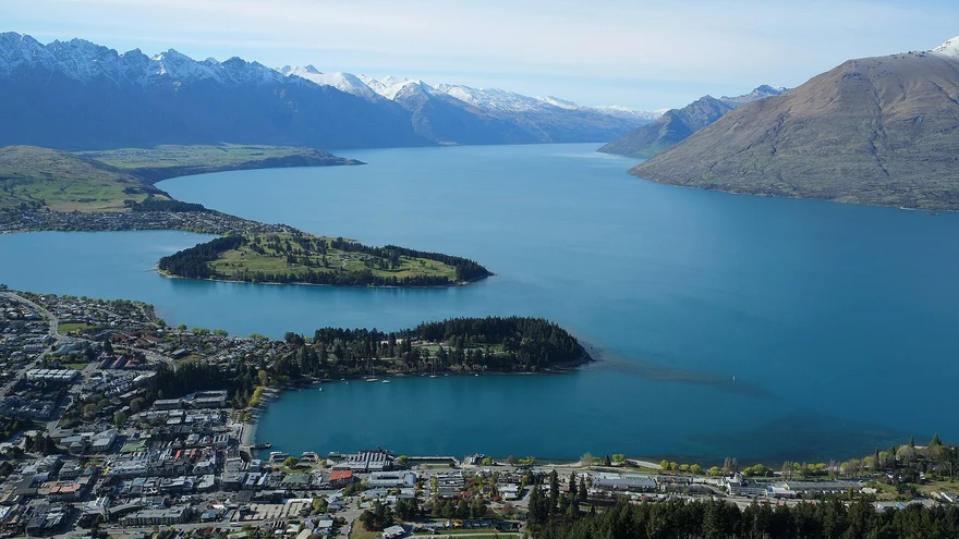 Area photo
Follow the lakeshore to Sunshine Bay and its beach.
Area photoNative bush, a historic lime kiln and a lakeside lookout west of Queenstown.
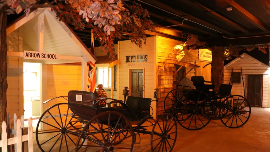 Area photo
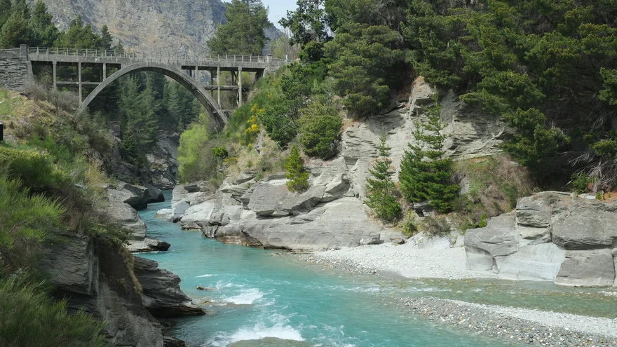
Follow the river past historic and swing bridges towards the Gibbston end of the trail.
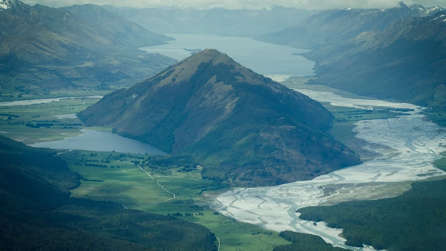 Area photo
A wetland and boardwalk outing at the head of Lake Whakatipu.
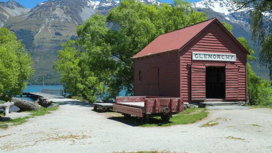
A lakeside stop at the head of Whakatipu, near the township and the start of the lagoon walk.
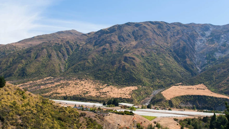 Area photo
Cycle or walk the Kawarau River corridor through the valley. Check trail access before heading out.
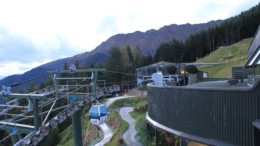 Area photo
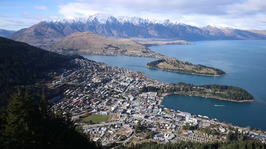
Climb from Belfast Terrace past the Basket of Dreams for views over Queenstown and Lake Whakatipu.
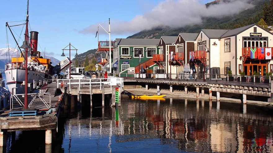 Area photo
Choose the saddle or the more demanding summit. Check DOC’s route notes and seasonal alpine conditions.
 Area photo
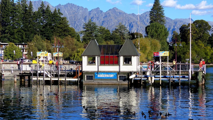
A lakefront spot for a stroll or a picnic between town and the gardens.
Area photoA loop around Moke Lake through open country. Check the access road and track conditions before leaving.
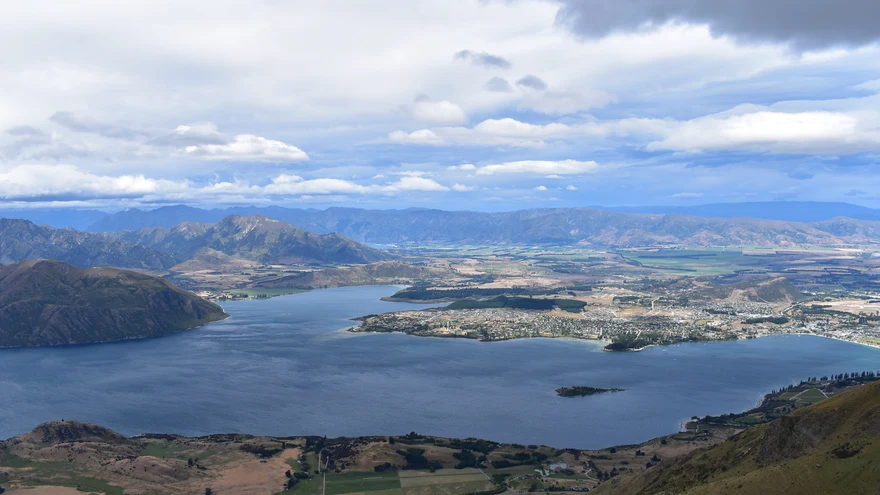
Walk the waterfront past the marina, lawns and beaches. Start from town and go as far as you feel like.
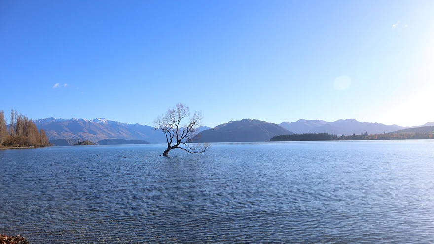
Find the willow growing just offshore on the western stretch of the Wānaka lakefront.
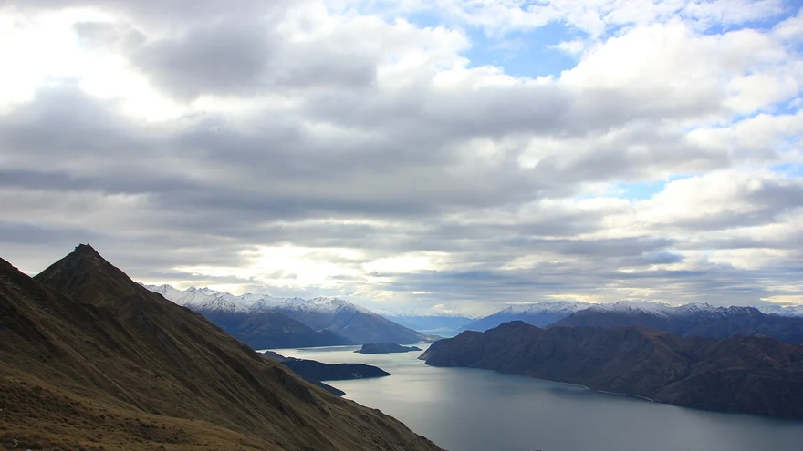
A long, exposed climb overlooking Lake Wānaka. See DOC for seasonal lambing closures and avalanche terrain.
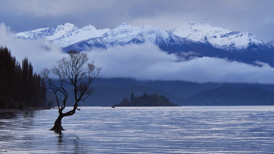 Area photo
A short summit loop with views over Wānaka and the Upper Clutha. Confirm council fire closures in summer.
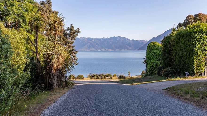 Area photo
A reserve along the lake with quiet picnic spots and short trails.
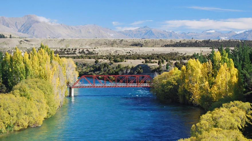 Area photo
Walk or bike beside the Mata-Au / Clutha River towards the lake outlet.
Area photoA riverside starting point for local paths and a picnic near the road bridge.
Lakeside picnic spots and a shoreline walk from town.
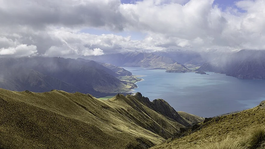 Area photo
Follow the lake edge to Gladstone. Use the official track information for shared-use rules.
Area photoA shared riverside route between the Hāwea and Albert Town areas. Pick an access point before setting off.
Historic bridge across the Mata-Au / Clutha River. Use the designated stopping and viewing areas.
Area photoA day out by the lake west of Wānaka, with shoreline walks and space for a picnic.
Area photoA short native forest walk to the Blue Pools crossing. Check DOC for the latest track and bridge status.
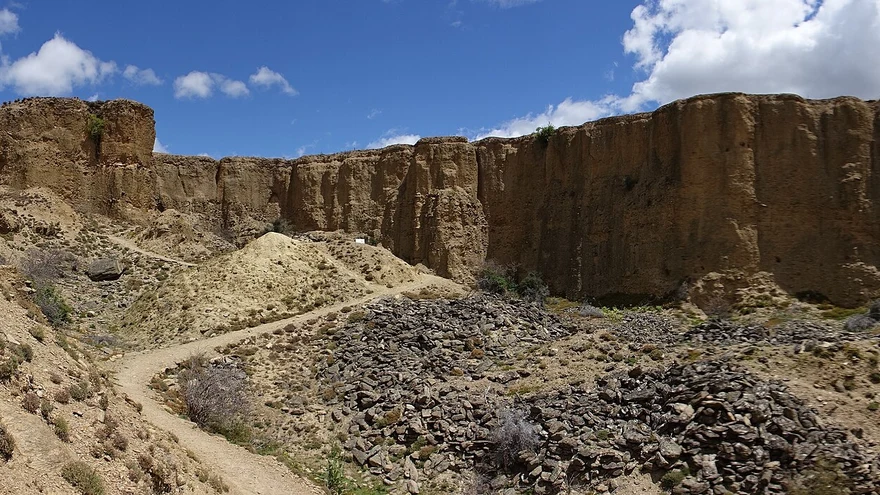
Walk through eroded gold-mining landscapes overlooking the vineyards and river.
 Area photo
Visit the southern end of Lake Whakatipu for a picnic, lake views and a walk around the village.
Area photoA lakeside stop at the head of Whakatipu near Glenorchy. Check local access conditions.
Area photoLake and mountain views on a route around the eastern side of Whakatipu. Check access and trail conditions.
 Area photo
Explore local shared paths and connections into the Queenstown Trail network.
 Area photo
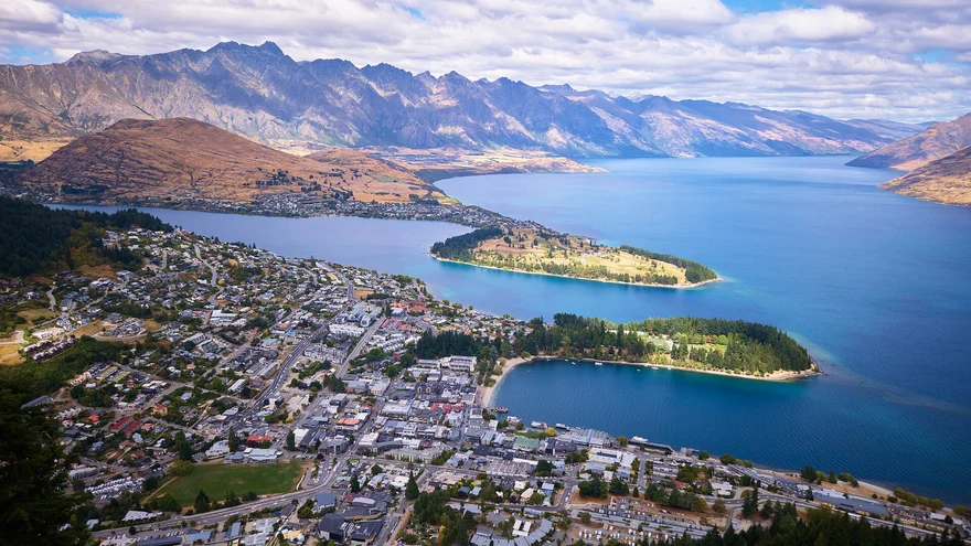
A steep forest climb from Brecon Street towards the Skyline complex on Bob’s Peak.
Area photoA bush and gold-mining history loop that passes Sam Summers Hut.
 Area photo
A climb to a tarn above The Remarkables ski area. Check the ski-field access road and seasonal alpine conditions.
 Area photo
A steady climb above the Arrow River to a lookout over Arrowtown and the basin.
Area photoA loop through beech forest and open tussock with views over the Wakatipu Basin.
Area photoA ridgeline and stream loop through former gold-mining country. Follow marked access through private land.
Area photoA climb from the Arrowtown tracks towards the Big Hill saddle, with open-country views. See Arrowtown’s guide for connections and access.
Area photoA beech forest walk to Lake Sylvan off Routeburn Road. Check DOC alerts before travelling.
Area photoClimb through historic mining country above the Rees Valley to gold-mining relics.
Area photoExplore mining remains in Whakaari Conservation Area. DOC lists the various walk and hut options.
Area photoStart at Routeburn Shelter and use DOC’s route guide for the out-and-back to Routeburn Flats via forest and river flats.
Area photoA 33 km Great Walk across Mount Aspiring and Fiordland national parks. DOC lists seasonal conditions, transport and hut bookings.
Area photoA forest and lakeside loop near the Greenstone road end. Confirm current access and track conditions with DOC.
Area photoA backcountry circuit through river valleys, beech forest and McKellar Saddle. Check DOC’s route, hut and access information.
Area photoA summit circuit above Diamond Lake. Steep or slippery sections include exposed, rocky terrain.
Area photoA shorter option around Diamond Lake from the conservation area car park. See DOC’s mapped routes for the lookout and summit alternatives.
Area photoFollow the valley towards Rob Roy Glacier viewpoints. Check DOC for track alerts and the Raspberry Creek access road.
Area photoA valley tramp towards Aspiring Hut. Use DOC’s guide to choose a turnaround point and check road and river conditions.
Area photoA long one-way ridge tramp connecting Roys Peak and Mount Alpha with the Cardrona Valley. Check DOC’s alpine and transport guidance.
Area photoAn exposed climb with views of both Lake Hāwea and Lake Wānaka. Check seasonal access restrictions with DOC.
Area photoA steep backcountry ridge climb above Lake Hāwea with hut options. Use DOC’s route and conditions guidance.
Area photoA climb through open country to views over the Upper Clutha basin. Check access and route notes with DOC.
Area photoHike through Fern Burn and beech forest towards the hut. DOC describes this section as a day or overnight outing.
Area photoA backcountry route linking the Wānaka and Arrowtown areas across several exposed saddles. Read DOC’s notes on huts, access and conditions.
Area photoA steep climb towards Little Criffel in the upper Luggate area. Check DOC access details before travel.
 Area photo
Cross open country above the Lindis Valley for views over Central Otago. Check DOC’s road, gate and seasonal access guidance.