 Area photo
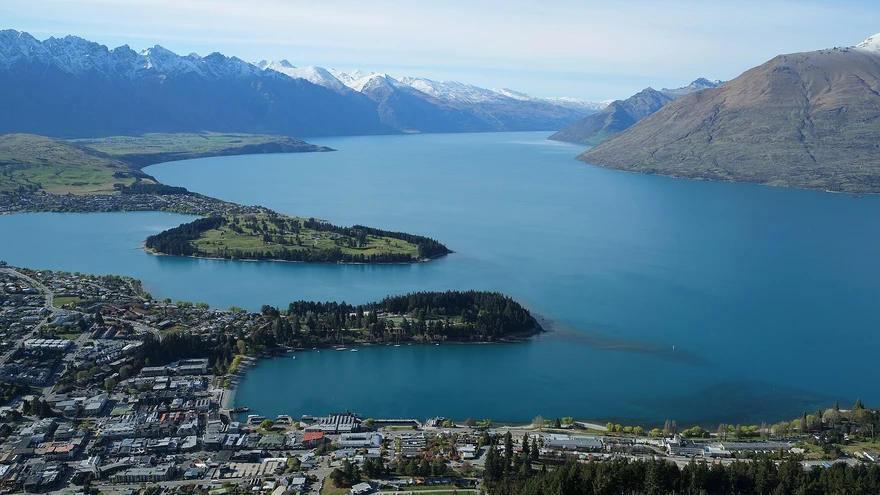
Ben Lomond Track
Choose the saddle or the more demanding summit. Check DOC’s route notes and seasonal alpine conditions.
 Queenstown NOW
Find short walks, day hikes and multi-day tramps across Queenstown, Wānaka and the Southern Lakes.
Check the official track page for current access, weather and seasonal hazards before leaving.
No matches. Try a different filter.
Area photoChoose the saddle or the more demanding summit. Check DOC’s route notes and seasonal alpine conditions.
 Area photo
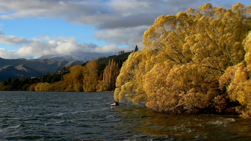
A climb from the Arrowtown tracks towards the Big Hill saddle, with open-country views. See Arrowtown’s guide for connections and access.
 Area photo
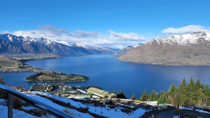
Native bush, a historic lime kiln and a lakeside lookout west of Queenstown.
 Area photo
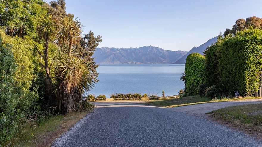
A steep backcountry ridge climb above Lake Hāwea with hut options. Use DOC’s route and conditions guidance.
 Area photo
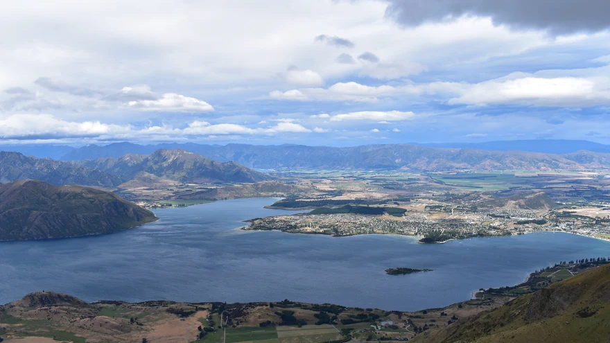
A shorter option around Diamond Lake from the conservation area car park. See DOC’s mapped routes for the lookout and summit alternatives.
 Area photo
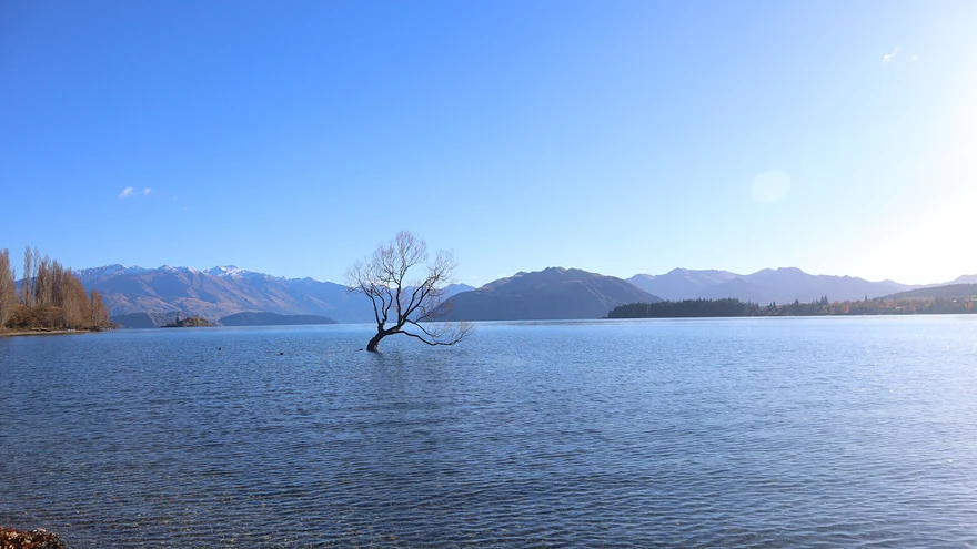
Hike through Fern Burn and beech forest towards the hut. DOC describes this section as a day or overnight outing.
 Area photo
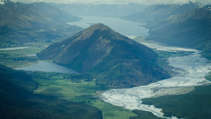
A wetland and boardwalk outing at the head of Lake Whakatipu.
 Area photo
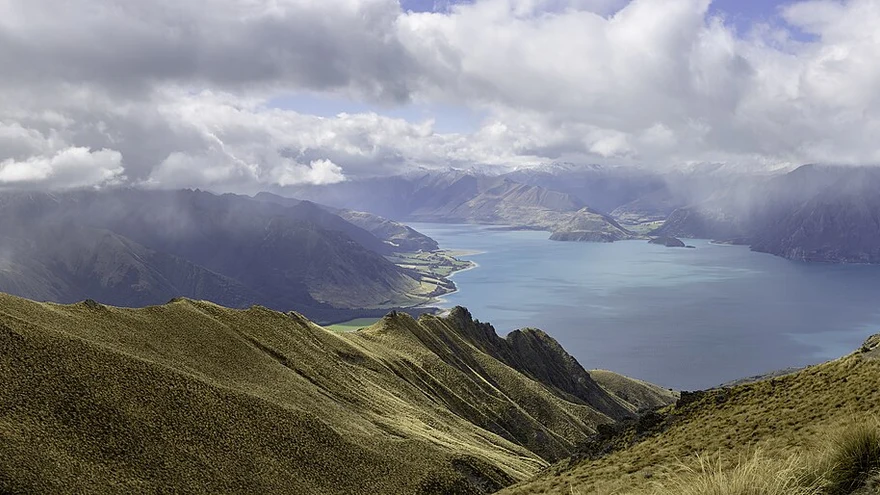
A climb through open country to views over the Upper Clutha basin. Check access and route notes with DOC.
 Area photo
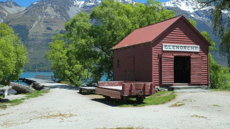
A backcountry circuit through river valleys, beech forest and McKellar Saddle. Check DOC’s route, hut and access information.
Area photoClimb through historic mining country above the Rees Valley to gold-mining relics.
Area photoAn exposed climb with views of both Lake Hāwea and Lake Wānaka. Check seasonal access restrictions with DOC.
Area photoExplore mining remains in Whakaari Conservation Area. DOC lists the various walk and hut options.
 Area photo
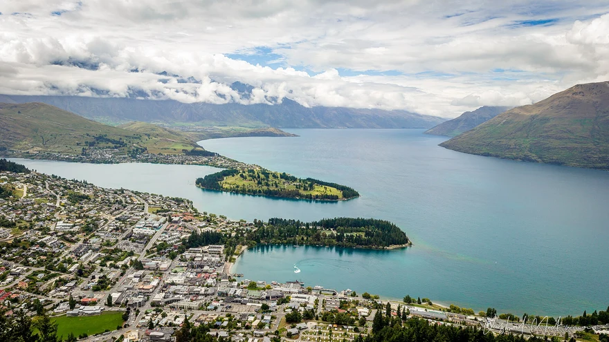
A climb to a tarn above The Remarkables ski area. Check the ski-field access road and seasonal alpine conditions.
Area photoA forest and lakeside loop near the Greenstone road end. Confirm current access and track conditions with DOC.
Area photoA beech forest walk to Lake Sylvan off Routeburn Road. Check DOC alerts before travelling.
 Area photo
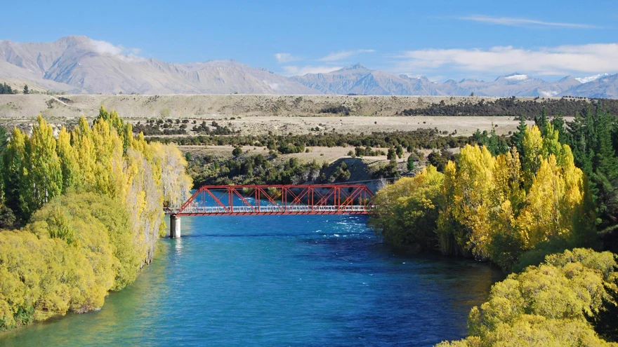
Cross open country above the Lindis Valley for views over Central Otago. Check DOC’s road, gate and seasonal access guidance.
Area photoA steep climb towards Little Criffel in the upper Luggate area. Check DOC access details before travel.
Area photoA loop around Moke Lake through open country. Check the access road and track conditions before leaving.
 Area photo
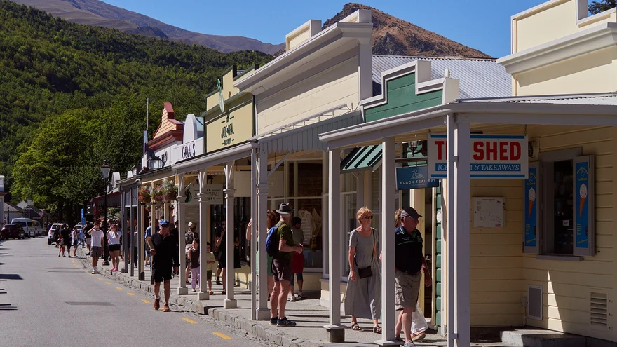
A backcountry route linking the Wānaka and Arrowtown areas across several exposed saddles. Read DOC’s notes on huts, access and conditions.
Area photoA bush and gold-mining history loop that passes Sam Summers Hut.
 Area photo
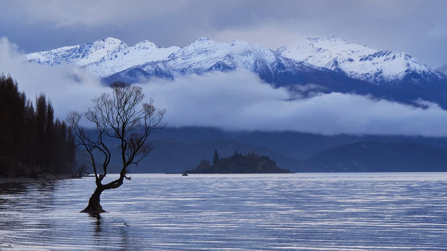
A short summit loop with views over Wānaka and the Upper Clutha. Confirm council fire closures in summer.
 Area photo
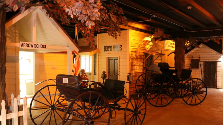
A ridgeline and stream loop through former gold-mining country. Follow marked access through private land.
 Area photo
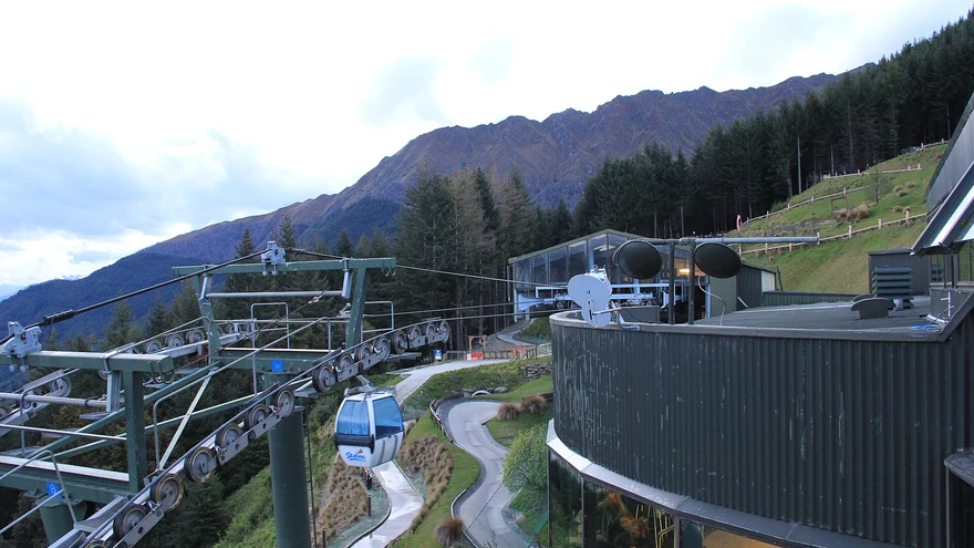
Climb from Belfast Terrace past the Basket of Dreams for views over Queenstown and Lake Whakatipu.
 Area photo
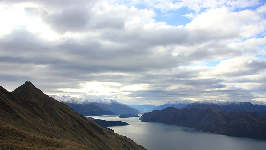
Follow the valley towards Rob Roy Glacier viewpoints. Check DOC for track alerts and the Raspberry Creek access road.
Area photoA summit circuit above Diamond Lake. Steep or slippery sections include exposed, rocky terrain.
Area photoStart at Routeburn Shelter and use DOC’s route guide for the out-and-back to Routeburn Flats via forest and river flats.
Area photoA 33 km Great Walk across Mount Aspiring and Fiordland national parks. DOC lists seasonal conditions, transport and hut bookings.
A long, exposed climb overlooking Lake Wānaka. See DOC for seasonal lambing closures and avalanche terrain.
 Area photo
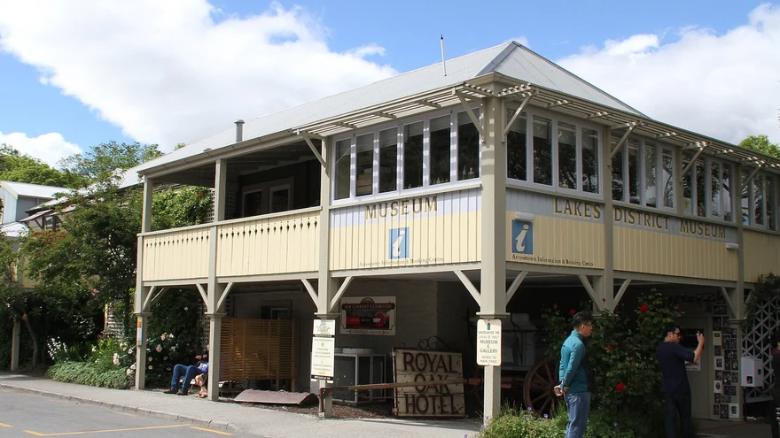
A loop through beech forest and open tussock with views over the Wakatipu Basin.
Area photoFollow the lakeshore to Sunshine Bay and its beach.
 Area photo
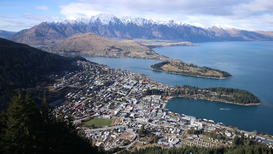
A steep forest climb from Brecon Street towards the Skyline complex on Bob’s Peak.
Area photoA steady climb above the Arrow River to a lookout over Arrowtown and the basin.
Area photoA long one-way ridge tramp connecting Roys Peak and Mount Alpha with the Cardrona Valley. Check DOC’s alpine and transport guidance.
Area photoA valley tramp towards Aspiring Hut. Use DOC’s guide to choose a turnaround point and check road and river conditions.